Data -> Map. The Good Parts.

John J Czaplewski - University of Wisconsin Geoscience Dept.
@johnjcz

Spatial data manipulation!

Cleaning

Normalizing

Formatting

File formats

Clean & Compact

Toolbox

Command line doesn't bite

A note on open...

Example #1: Reproject

Senate districts 2013

NAD 1983 StatePlane Kentucky Statewide (2001) FIPS 1600

wtf?

ogr2ogr senate_4326.shp -t_srs "EPSG:4326" SH001A02.shp

ogr2ogr -f "GeoJSON" senate.geojson -t_srs "EPSG:4326" SH001A02.shp

https://gist.github.com/jczaplew/4c80ea08dd179fde53b4

Example #2: Join Attributes

Natural Earth Admin 1 States 110m

State diabetes estimates (CDC)

ogr2ogr -sql "select ne_110m_admin_1_states_provinces.*, diabetes_2012.* from ne_110m_admin_1_states_provinces left join 'diabetes_2012.csv'.diabetes_2012 on ne_110m_admin_1_states_provinces.name = diabetes_2012.state" diabetes.shp ne_110m_admin_1_states_provinces.shp
mapshaper.org

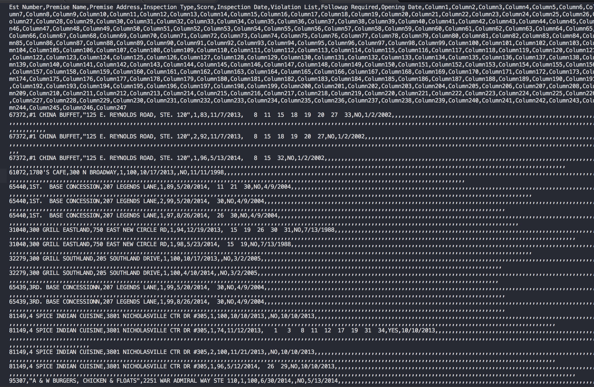
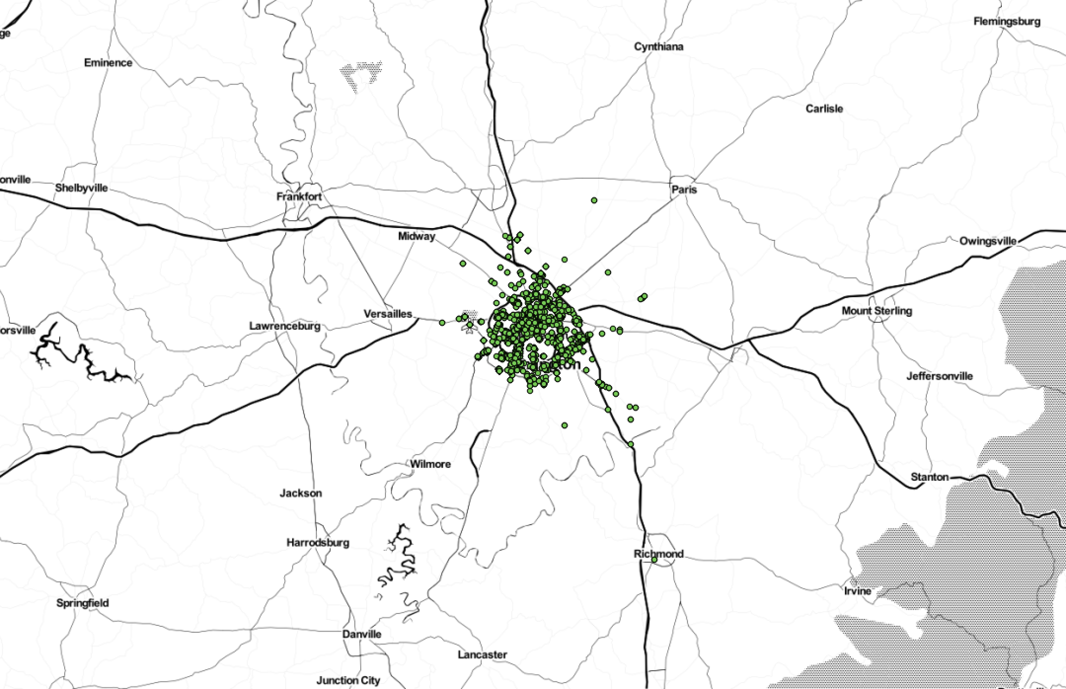
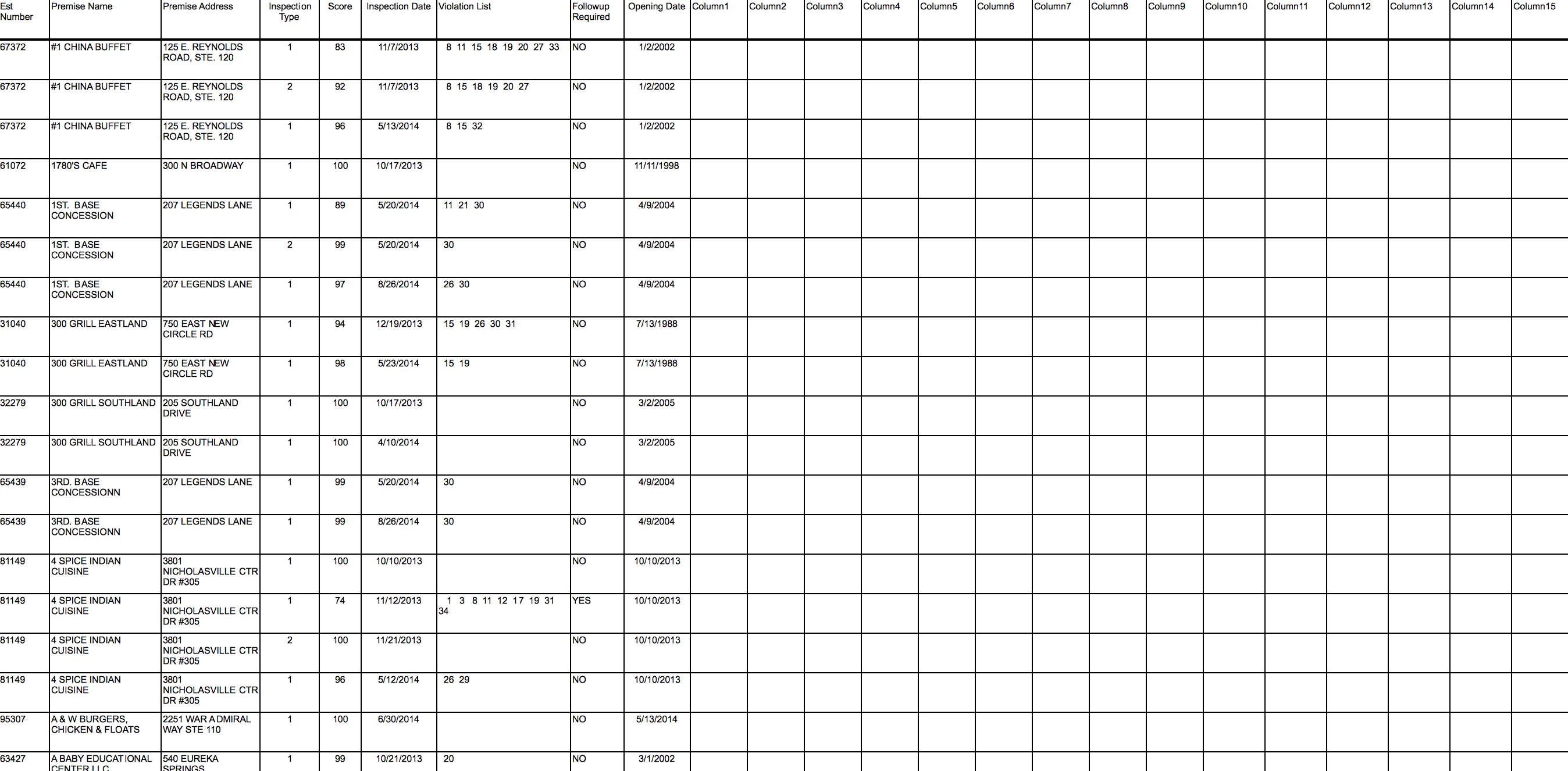
Example #4: Lexington restaurants

Thanks!